The draft of Pathways 2035, the county’s 10-year Master Plan for the bike/pedestrian network, identifies 117 miles in 140 segments of Recreational trails to be prioritized. An additional 291 miles of Active Mobility trails, primarily shared use paths and paved shoulders, are also identified.
The Department of Parks and Recreation (DPR) is requesting approval from the Board of County Supervisors (BOCS) to allow volunteers to build new trail segments which DPR will maintain. Volunteers can help build some of the “planned” Recreational segments, in places where land acquisition is not required. In the future, volunteers may also be able to complete portion of “proposed” segments once right-of-way has been acquired.
In August, the Trails and Blueways Council is identifying low hanging fruit projects on planned recreation segments, stretches where minimal design and construction effort is required. Until the BOCS provides funding, the low hanging fruit projects are the greatest opportunity to implement Pathways 2035, hold ribbon cutting ceremonies, and “work the plan” to add miles to the bike/pedestrian network.
Perhaps the lowest of the low-hanging fruit projects now is along Flat Branch, linking Sudley Road (Business 234) to Splashdown WaterPark and Bull Run.
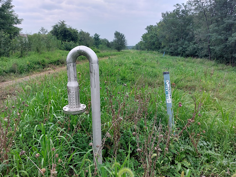
Until the BOCS cancelled plans to build the Route 28 Bypass, a shared use path parallel to a new 4-lane highway was planned. Now, it makes sense to construct a trail over the existing sewer line of the Upper Occoquan Service Authority (UOSA) along that route.
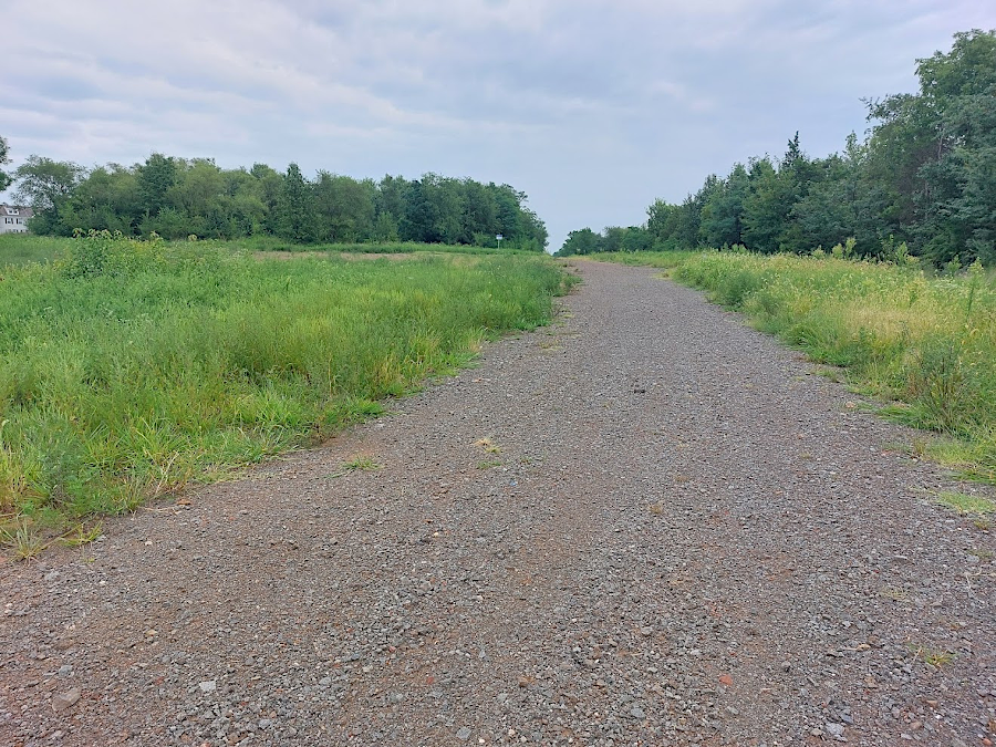
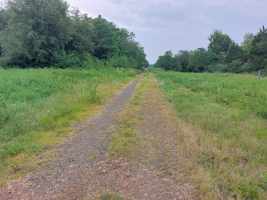
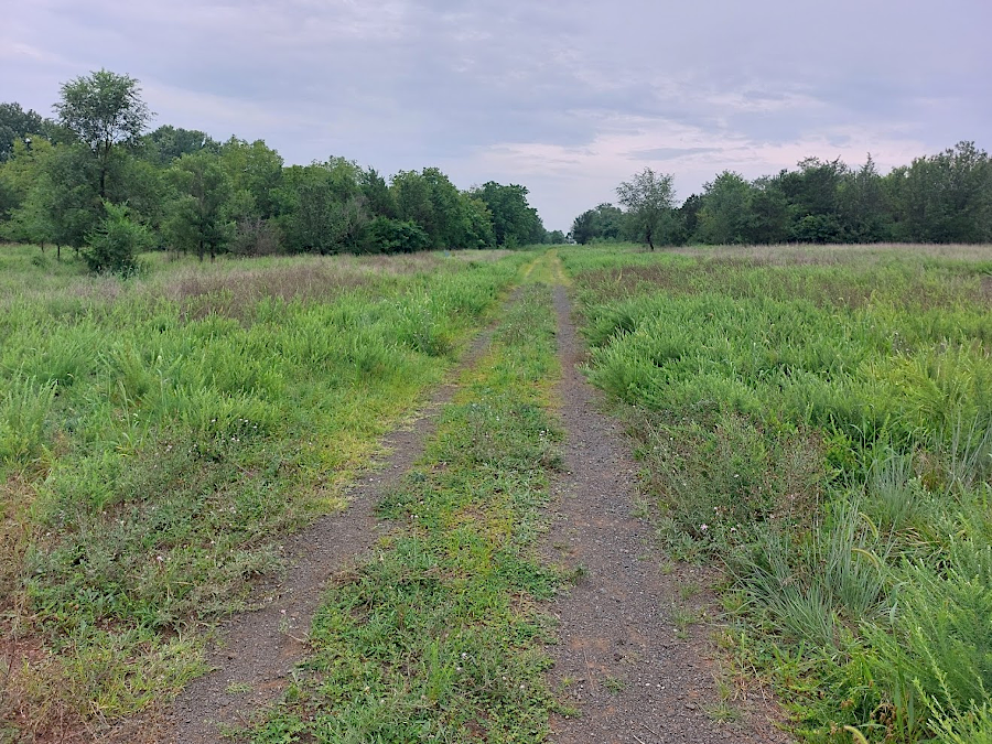
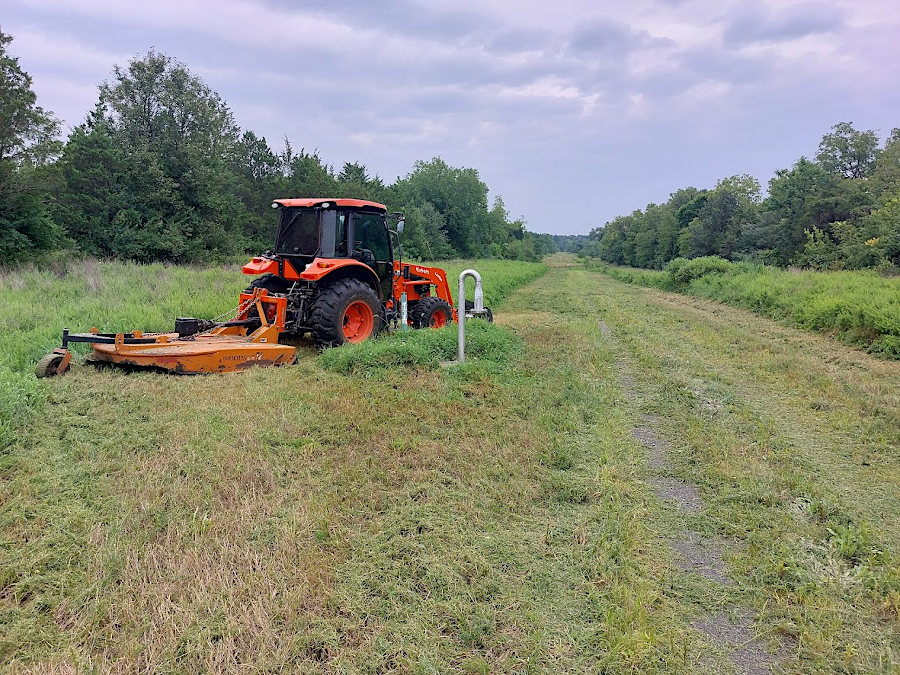
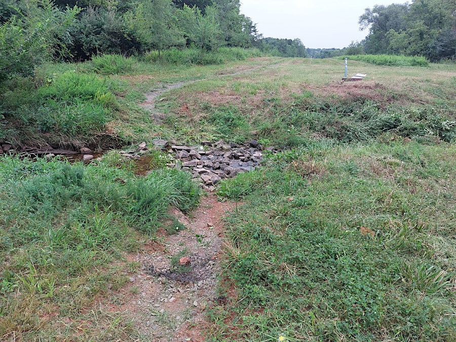
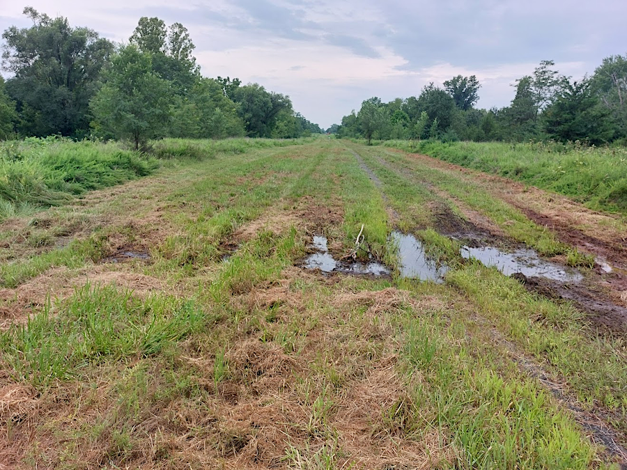
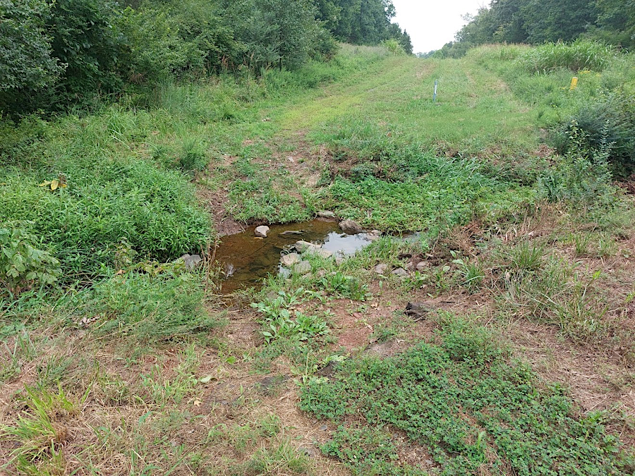
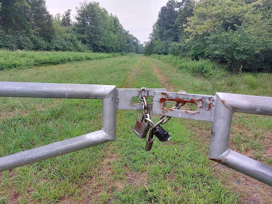
UOSA maintains a graveled service road and cuts the grass, so there is an existing trail for the entire two miles along Flat Branch. There are two streams that cross the service road. Bikers can roll through and hikers can step on rocks to cross the streams except in times of high water. Short bridges would be helpful in those spots.
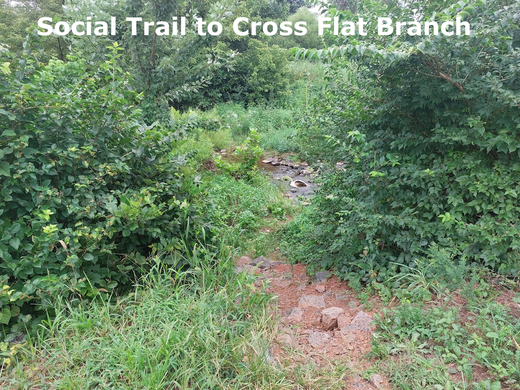
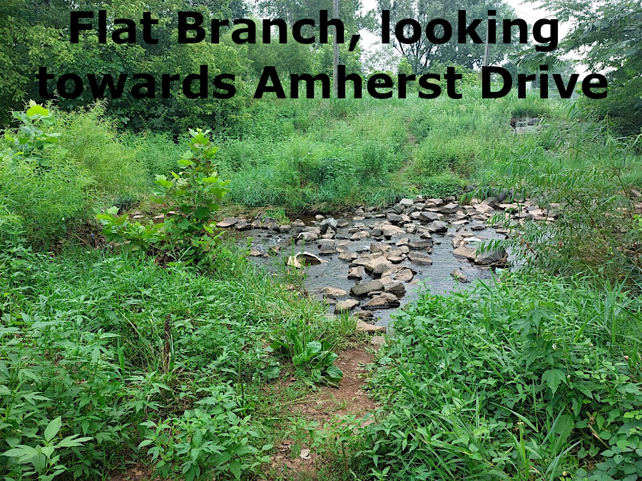
Similarly, rocks in Flat Branch itself provide a low water crossing to get from Amherst Drive to the trail and Splashdown WaterPark. A social trail shows that the unofficial route there is bring used regularly.
Because the sewer pipe infrastructure crossing Flat Branch must always be easily accessible, getting any bridge approved for that location would be challenging. A low-water crossing using existing rocks which do not restrict flow in the Flat Branch floodway is more realistic. Though aligning rocks could meet the need, regular maintenance would be required after major storms to retain the alignment.
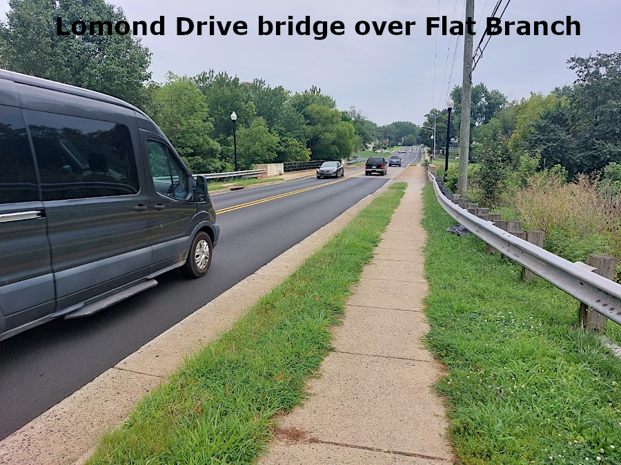
Getting across Lomond Drive also is challenging. Traffic is constant. There are gaps within lines of cars, but often the gap between cars coming from one direction does not match up with the gap between cars coming from the other direction.
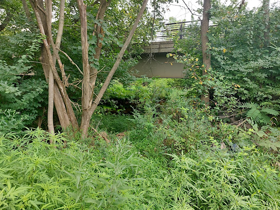
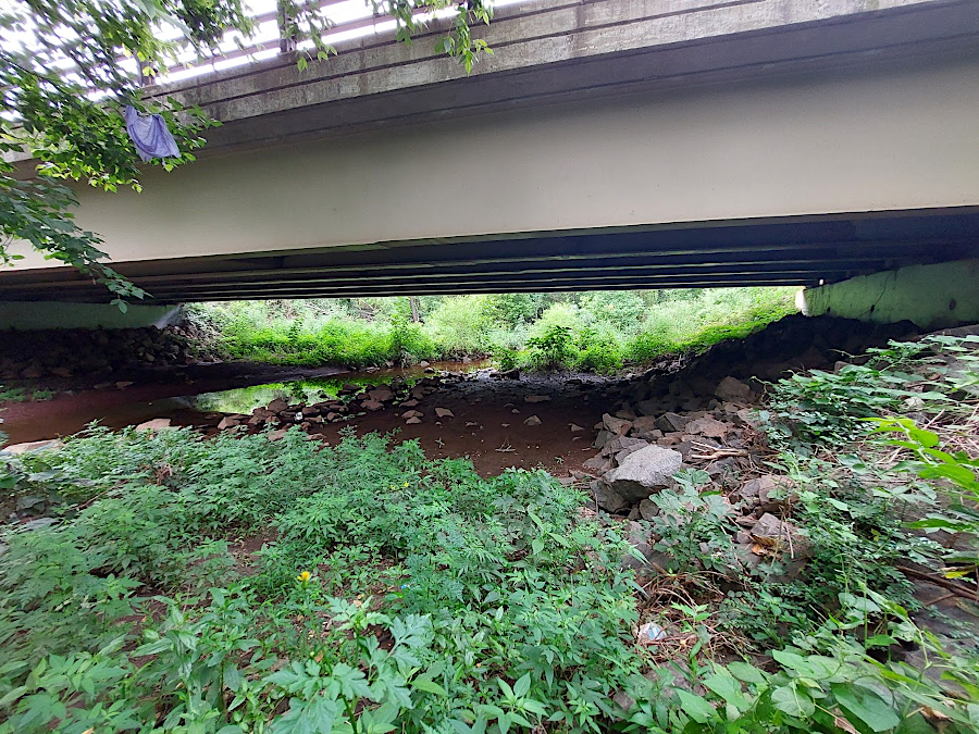
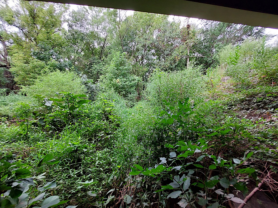
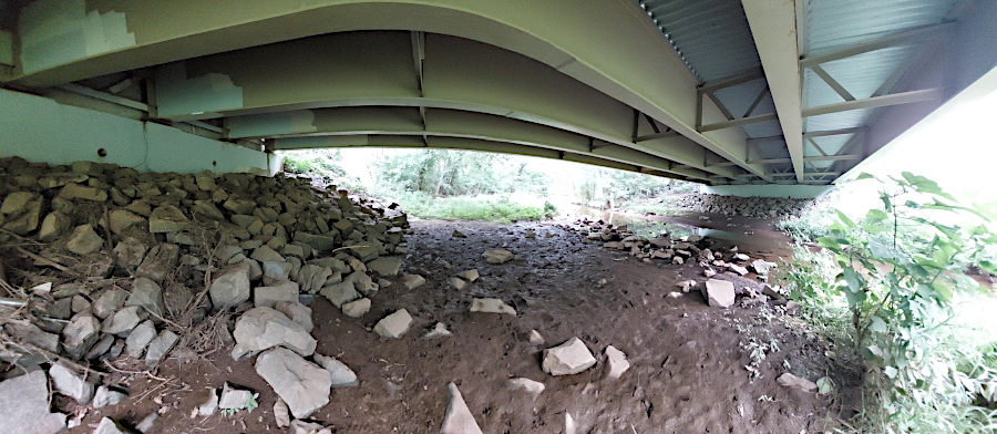
Fortunately, there is enough space underneath the Lomond Drive bridge over Flat Branch to provide space for a trail except in times of very high water. Currently, vegetation obscures getting underneath the bridge.
Volunteers, if authorized, could open the route underneath Lomond Drive until a pedestrian crossing signal is installed on the roadway. Volunteers could also enhance the existing low water crossings or build two bridges. Signage could also be installed for bikers/hikers to find their way.
The property appears to be owned by the Virginia Department of Transportation (VDOT). Until the land can be acquired to serve as part of the Prince William County park system, a land use permit may be required to create a public trail. Permission from UOSA will also be needed.
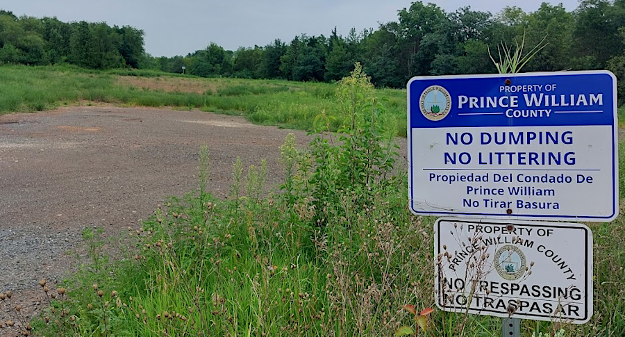
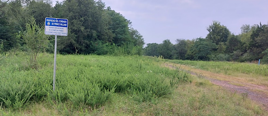
Currently there are two “No Trespassing” signs near Sudley Road. Otherwise, the existing path is unmarked.