In a presentation at the 2026 Virginia Land Conservation & Greenways Conference, staff from the State Trails Office previewed the upcoming state trails plan – see Powerpoint slides.
The Statewide Multiuse Trails Plan was released publicly three days later.
The state plan identifies “regionally connected multiuse trails” – those with a hard surface, and either exceed three miles in length or connect with other trails within 500 feet to form a continuous network. Trails with coarse gravel or native surfaces were not included in the state plan. The Appalachian National Scenic Trail was shown just to provide context.
The State Trails Office selected major, well-known, partially- or fully-funded, existing, and planned multiuse trails that collectively constitute the “spine” of a multiuse trail network in the Commonwealth. 23 “signature multiuse trails” were identified (see p.3-22 in the state plan).
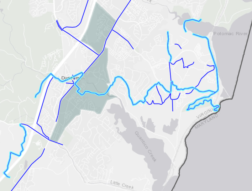
The Potomac Heritage National Scenic Trail did not qualify as one of them. However, one segment of the Potomac Heritage National Scenic Trail in Fairfax County (Map Trail ID No.30) and one segment in Prince William County (Map Trail ID No. 102) were included in the plan as 10’ wide shared use paths.
The state Trail Data Viewer will be updated as new trails are planned, such as those in Pathways 2035 once adopted by Prince William County.
Simultaneously, the Virginia Department of Transportation (VDOT) announced the release of a new Appendix K – Trail Type and Surface Selection Guidelines for the Road Design Manual. It authorizes crushed stone surfaces for pedestrian/bicyclist trails – and even natural surface trails for equestrians – for projects funded by VDOT and within the VDOT right-of-way.
Only section of Potomac Heritage National Scenic Trail within Prince William County that was included in Statewide Multiuse Trail Plan (Map Trail ID No. 102):